Character of Cabouy
Résurgence de Cabouy is one of the access points to the underground Ouysse system. The almost circular pool is approximately 20–25 metres in diameter. In the first section the bottom is vegetated down to about −6 metres; on the western side, a slope of sand, clay and blocks leads to the actual entrance to the gallery at around −15 metres.
Beyond the underwater portal, approximately 6 metres wide and 4 metres high, the passage descends further to about −31 metres. After roughly 40 metres the cave opens into a large, predominantly elliptical river gallery. The walls and floor show pronounced erosion features, including channels, corrosion pockets and so-called marmites de géant. From the deepest section, the floor gradually rises to approximately −12 metres at around 275 metres penetration.
Further upstream, Cabouy connects with Pou Meyssen, a natural window onto the same underground river. Modern topography of the Réseau de l’Ouysse documents a much larger system with dry intermediate sections and several sumps.
View this location
📷 Photos
View photos →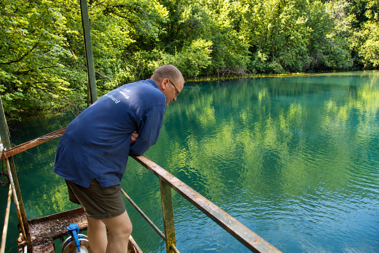
▶ Videos
View videos →🗺️ Topography
Several surveys are available for Cabouy. For this page, the Cabouy – Pou Meyssen connection and the complete Réseau de l’Ouysse are particularly relevant.
PLAN · Cabouy – Pou Meyssen
Survey 2009–2010. The map states a length of 906 m and a depth of 31 m for Cabouy.
🔍 View topoPLAN · Réseau de l’Ouysse
Complete survey, December 2017. The map states a total length of 5,095 m and a maximum water depth of 100 m for the complete explored network.
🔍 View complete topoTopography: Project Baseline / Cavebase contributors · source: PlongéeSout / FFSpéléo.
📍 Locatie
📍 Open in Google Maps →ℹ️ Practical information
📚 Sources & documentation
- FFS / PlongéeSout — technical description and historical/topographic data for Résurgence de Cabouy and the Réseau de l’Oyusse.
- FFSpéléo — additional speleological source information about the underground system.
- Réseau de l’Oyusse · complete survey, december 2017 — source for the stated total development of 5,095 m and the data for the complete network.
Practical information about the parking position, walking distance, GPS coordinates and DPV is based on personal location data. Cave conditions, access and local arrangements can change; always check these before a dive.
Note: approximately −31 m is the deepest point of the Cabouy entrance section as described in the source. The 5,095 m refers to the total length stated on the complete survey of the Réseau de l’Oyusse (December 2017).