📷 Photos
View photos →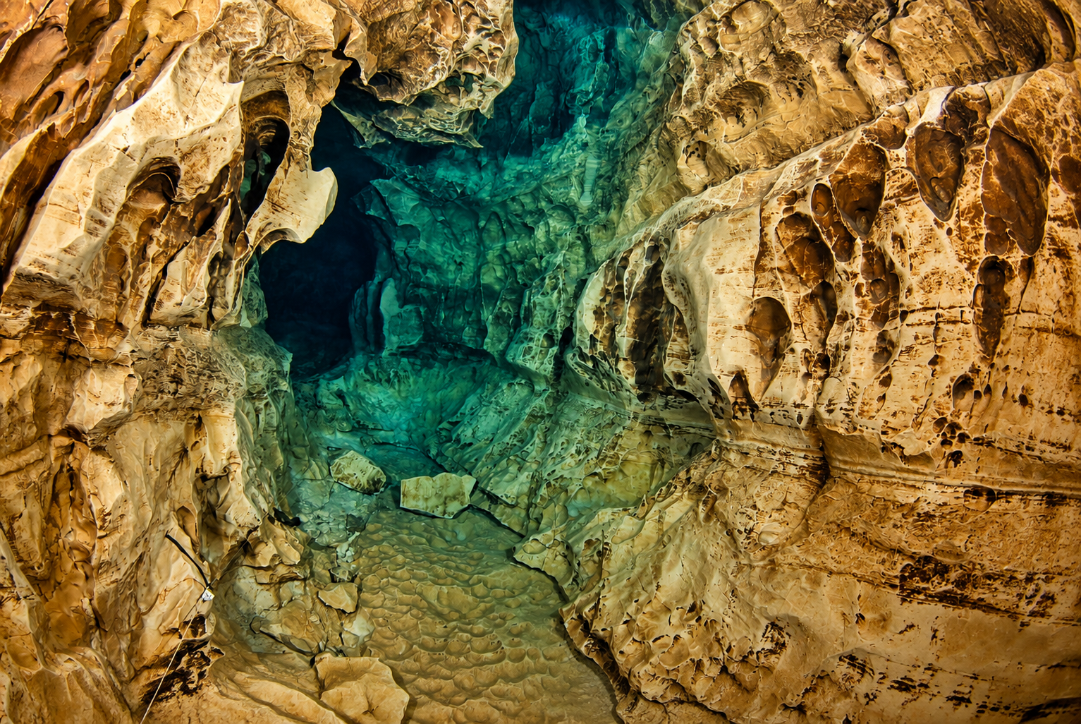
© Ron Freijer© Ron Freijer
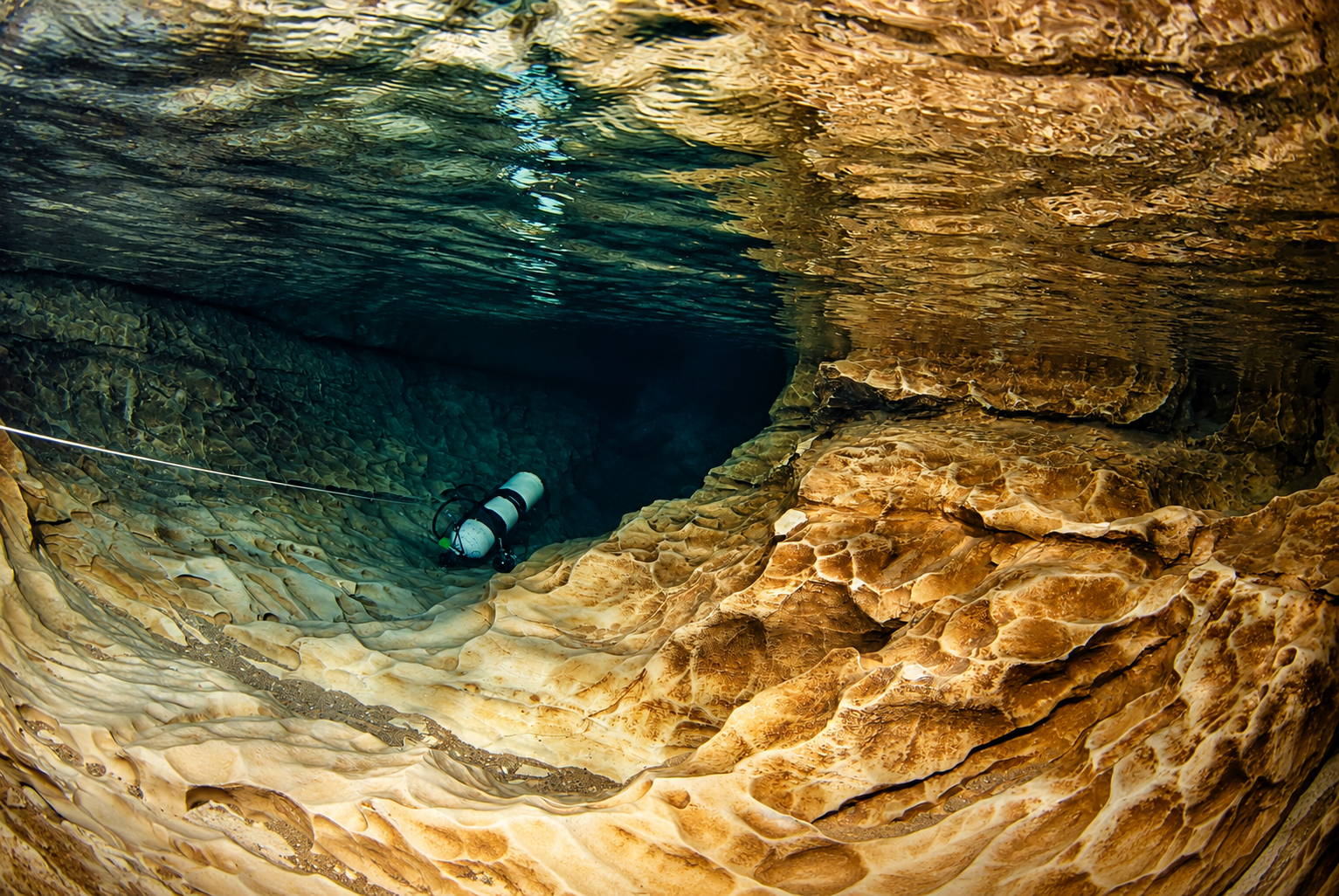
Clear water, distinctive limestone passages and a long system of successive sumps and dry sections.
Set your navigation to the GPS point for the access road. From there it is approximately 2 km / ±7 minutes to the cave along an unpaved sandy track.
🧭 Navigation point: 44° 48' 46.872" N · 1° 33' 34.535" E. The sandy track can be in poor condition; expect potholes, mud and eroded sections.
Fontaine du Truffe is located near Lacave. The supplied overview survey gives a total development of approximately 3,860 m and a maximum depth of approximately 30 m. The system consists of successive sumps with dry passages in between.
The first sump starts from the spring pool and contains a tighter passage early in the dive. Farther on, underwater sections and dry passages alternate. Historical descriptions mention clear water and irregular, pale limestone passages as characteristic of the cave.
The FFS description gives S1 as approximately 160 m with a maximum depth of −13 m. The entrance lies at the bottom of the dark spring pool. After the entrance there is a very low passage before the main passage is reached. At sufficiently high water levels, the transition from S1 to S2 can remain submerged.
A modern survey of S1 by Maren Isigkeit, Stephan Schlumbohm and Torsten Schnitter measured 147 m horizontally / 154 m total line length. This differs from older surveys, so the different historical measurements are not artificially reconciled here.
FFS describes S2 as a winding passage through heavily sculpted limestone. A short dry section follows S2; farther on, underwater and dry sections alternate increasingly often.
Sources: FFS – Font del Truffe · GUE – moderne survey S1
Shortly before the end of S1, the Galerie de Glaise is located on the left. It surfaces into air. According to FFS, a climb and a descent of approximately 8 m provide access to a fossil gallery connecting toward S5. The system is therefore not simply one linear sequence of sumps.
Font del Truffe has a long exploration history. A large part of the system had already been explored in the 1970s. In 1979–1980 exploration reached S11. In 1994 the continuation beyond S11 was found and exploration of S12 began.
On 3 February 2007, Rick Stanton and John Volanthen passed a very tight ascending fissure in S12. They reached an air chamber and subsequently discovered S13. On 28 December 2012, John Volanthen, Martin Groves and Rupert Skroupka continued and explored as far as S14.
Below are the three supplied historical surveys. The main survey shows the classic system as far as S12. Later exploration to S14 and the newly explored “bis” branches are not fully included.
Cave conditions, access and local arrangements can change; always check them before a dive.