Character of Œil de la Doue
Œil de la Doue is a karst spring near Martel. The entrance lies at the foot of a rock face about 15 metres high and is approximately 8.5 metres wide and about 1 metre high. The system is highly dependent on water level; during severe drought, parts of the first section may become dry or accessible as air-filled passages.
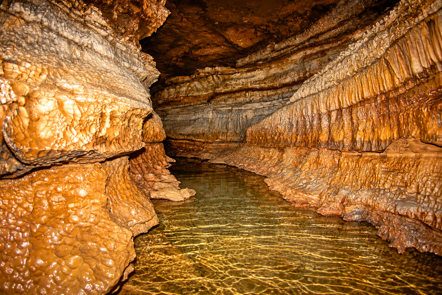
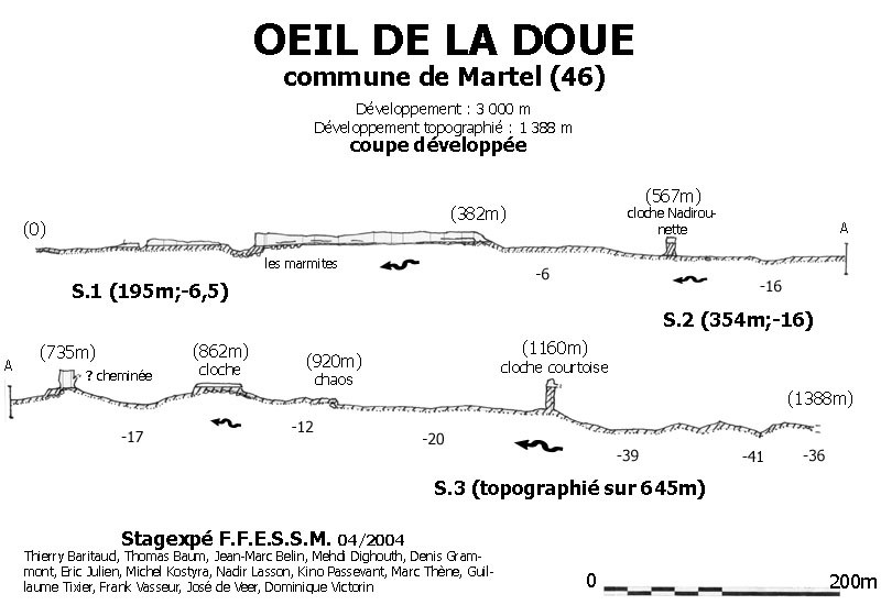
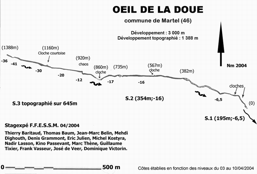
The system consists of several sumps separated by dry or partly dry sections. Beyond the first passages are spacious, heavily eroded limestone galleries with cloches, sandy sections and beautifully eroded formations. Modern exploration has brought the known development of the system to more than three kilometres.
Explore this location
🗺️ Survey Œil de la Doue
Developed profile and survey of the known underwater route. The original drawings have only been technically cleaned up and enlarged for better readability; the survey content has not been altered.
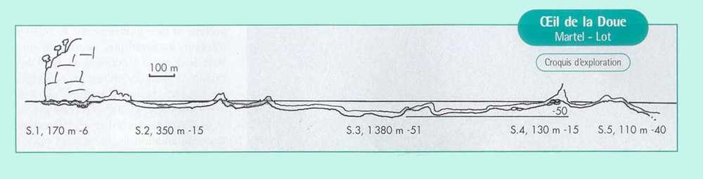 🔍 Enlarge
The images have been technically optimized for better readability based on the supplied original surveys.
ℹ️ Practical information
📚 Sources & documentation
- Supplied Œil de la Doue document — technical data and historical description of the system.
- F.F.E.S.S.M. surveys — survey data and information about the cave system.
GPS coordinates of the cave and parking area were supplied for this website.
Cave conditions, access and local arrangements can change; always check them before a dive.