🏛️ DepartmentLot (46)
📍 LocationMarcilhac-sur-Célé
📌 Cave GPS44°33′42.8″N 1°46′22.6″E ↗
🅿️ Parking GPS44°33′42.6″N 1°46′16.5″E ↗
↕ Max. depth83 m
↔ Development5.860 m
🗺️ TopoView maps ↓
Character of the Ressel
The Émergence du Ressel, located on the Célé River near Marcilhac-sur-Célé, is probably one of the best-known cave-diving sites in France. For many cave divers visiting the Lot, the Ressel is almost an essential destination. The system combines relatively easy access with enormous underwater passages, long penetration possibilities and deep sections.
The facilities are excellent nowadays. In the past, divers parked along the D41 and had to carry all their equipment down; today you can drive to the purpose-built parking area beside the river. There is room for approximately 20 cars and there is even a toilet facility for divers.
From the entry point in the Célé it is approximately 50 to 60 metres to the actual entrance of the Ressel. It lies upstream, which usually means that the first section must be swum or scootered against the current. Depending on the water level and flow, this may be barely noticeable or require considerable effort.
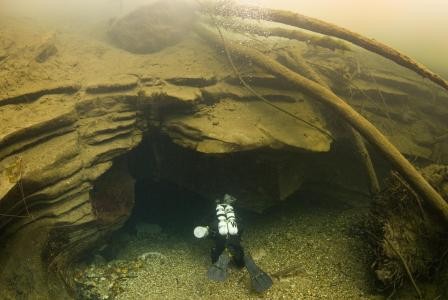
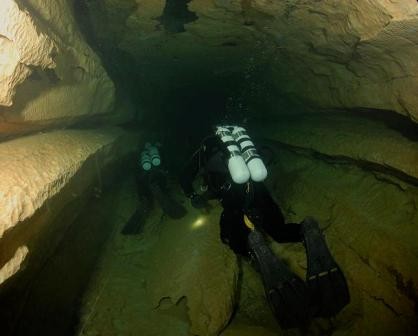
Once at the entrance, everything changes. You leave the river water of the Célé and enter the clear spring water of the Ressel. The cave soon develops into a large passage system of impressive dimensions. In many places the passages are metres wide and high, and the system contains different routes, connections, deep sections and several sumps.
Those dimensions make the Ressel particularly suitable for the use of a DPV. A scooter is obviously not necessary for a short dive, but for longer penetrations it makes a major difference. The Ressel therefore offers a wide range of dives: from a relatively short introduction to the first large passages to long technical dives involving multiple scooters, stages, trimix and extensive decompression planning.
With a known underwater development of several kilometres and a maximum depth of more than 80 metres, the Ressel is a cave that continues to offer new experiences. You can dive it dozens of times and still discover new sections, routes and details.
What makes the Ressel particularly special to me is the combination of accessibility and scale. You park almost beside the Célé, assemble your equipment, swim or scooter a short distance against the current and, a few minutes later, you are inside one of the most impressive underwater caves in the Lot.
A cave-diving trip to the Lot is hardly complete without a dive in the Ressel.
Explore this location
▶ Video
View videos →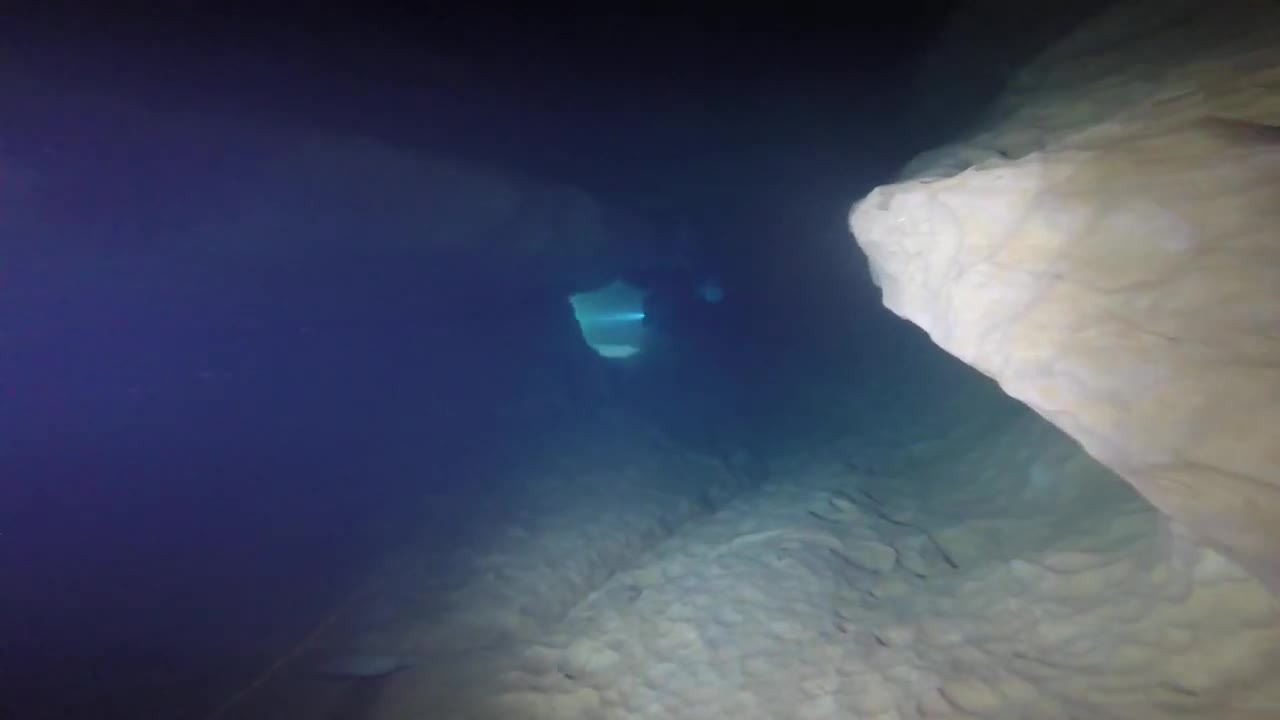
Émergence du Ressel · Cave diving at the Ressel
🗺️ Topography Émergence du Ressel
The complete 2005 survey documents the Ressel system to 5,860 metres from the entrance. Below you can open both the individual profiles and the plan views directly as original PDFs.
5.860 msurveyed development
S1 · 3.095 mfirst sump
S2 · 434 msecond sump
S6 · 1.335 msixth sump
Profiles / sections
Plan views / plans
Profiles: Choose the required section below. The original PDF opens directly from the Plongée Souterraine / FFS website.
Source: Plongée Souterraine / FFS · Topography: Höhlenforschungsgruppe Kirchheim (HFGK), Höhlen-Interessengemeinschaft Ostalb (INGO) en Landesverein für Höhlenkunde in der Steiermark. The maps and PDFs remain hosted on the website of the original source.
Copyright: the topographies are historical source material. freijer.eu claims no copyright in the original topographic content or drawings. Source and author credits have been retained.
🗺️ Location
Marcilhac-sur-Célé, France
📍 Open in Google Maps →ℹ️ Practical information
ParkingLarge parking area directly beside the Célé, with space for approximately 20 cars. A toilet facility is available.
Distance to cave entranceFrom the entry point, swim or scooter approximately 55–60 metres upstream.
AccessThe cave entrance is completely submerged in the Célé River.
EquipmentFull cave-diving equipment, good planning and local knowledge recommended
Special considerationsBe aware of current and variable visibility.
Dive only with sufficient experience.
Dive only with sufficient experience.
PermissionNo permission required.
DPVDPV permitted.
Sources & references
Technical data and topography are based on Plongée Souterraine / Fédération Française de Spéléologie (FFS) ↗. Topography: Höhlenforschungsgruppe Kirchheim (HFGK), Höhlen-Interessengemeinschaft Ostalb (INGO) en Landesverein für Höhlenkunde in der Steiermark. The original topo PDFs are opened directly from the website of the original source. Practical information has, where applicable, been supplemented with personal experience on site.