A deep and technically very demanding resurgence where the cave descends to great depth relatively quickly. Suitable only for highly experienced technical cave divers.
Source de Saint-Sauveur is a deep karst resurgence near Calès in the Lot. Its profile differs clearly from many other well-known caves in the region: the route descends steeply in the first section and then continues at considerable depth.
According to the supplied description, the underwater entrance lies around -15 m. After the first passages, approximately -45 m is reached at about 150 m penetration. Around 200 m the profile heads towards -68 m and farther on a large part of the main route lies around -70 tot -90 m. The supplied topography then shows a further descent to approximately -180 m.
⚠️ Extremely demanding technical cave dive. Saint-Sauveur is suitable only for highly experienced, technically trained cave divers. The rapid increase in depth creates substantial gas-management and decompression obligations early in the dive. An appropriate trimix configuration is necessary for deeper penetrations.
DPV: a scooter is possible and may be practical for farther penetration. Because of the combination of penetration, great depth and decompression, its use must be part of a complete technical dive plan.
This longitudinal profile clearly shows how quickly Saint-Sauveur gains depth. From the entrance, the route passes approximately -30, -40 and -50 m before reaching the long deep section around -70 to -90 m. Farther on, the system descends via -112, -133 and -142 m, ultimately towards approximately -180 m.
Topography: the source attribution and names of the original surveyors are visible on the supplied drawing. The topo is shown here as a historical and practical reference.
Copyright: the topography is historical source material. freijer.eu claims no copyright over the original topographic content or drawing. Source and author attribution have been retained.
ParkingLimited parking behind the gate, ±2–4 cars.
🚧
GateAfter passing through, always close it again.
🚶
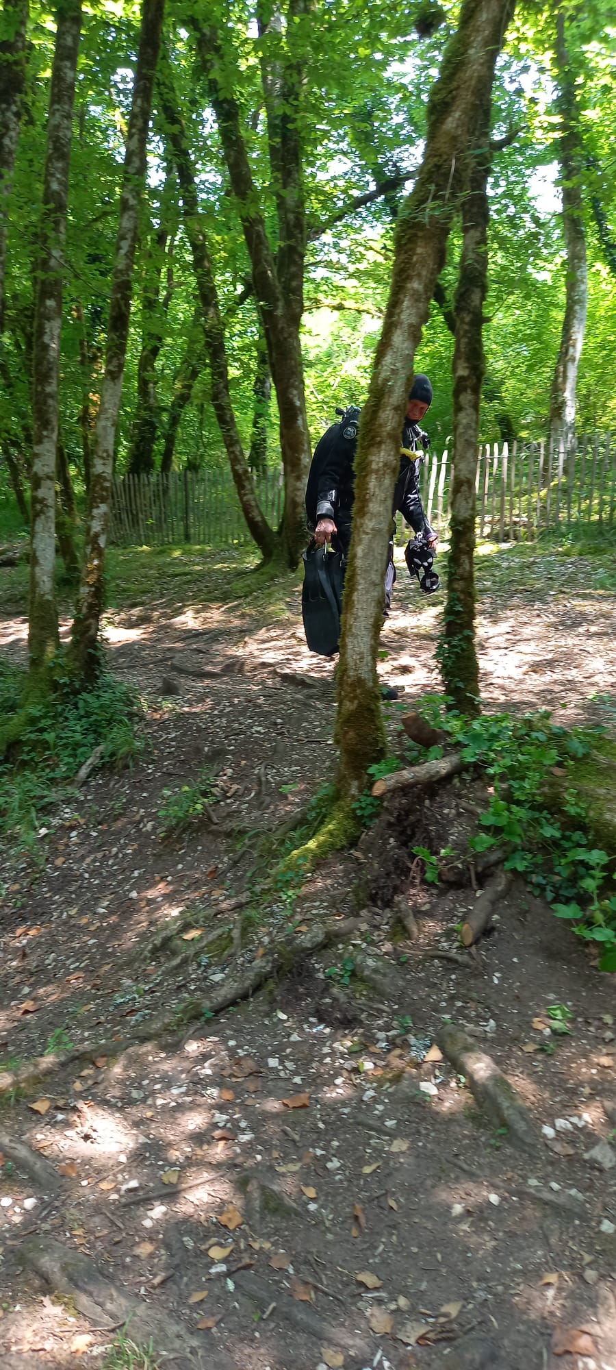
Walking distance±50 m from the parking place to the water.
🌊
AccessDeep resurgence. The underwater route begins around -15 m and then descends relatively quickly.
⚙️
ConfigurationFull technical cave-diving equipment with redundancy and a gas supply appropriate for depth, penetration and decompression.
🧪
TrimixNecessary for deeper penetrations. The cave reaches depths relatively early where an appropriate technical gas strategy is required.
⚠️
ParticularsExtreme technical cave. Only for highly experienced technical cave divers with proven experience in deep cave diving and demanding decompression dives.
🏛️
PermissionAlways check current local access rules and any restrictions beforehand.
🛵
DPVPossible. Especially useful for farther penetration, but it must be part of a technical dive plan and is not intended to compensate for the required experience or gas planning.
📚 Sources & notes
Supplied GPS coordinates and practical field information — location, parking, walking distance, access and local considerations.
Historical description and topography of Source de Saint-Sauveur — depth profile, penetration and technical characteristics of the system.
Practical information about parking, walking distance and GPS coordinates is based on supplied field data. Cave conditions, line configuration, access and local arrangements can change; always check them before a dive.