📷 Photos
📷
Photos coming soonDurzon photos can be added here later.


A long karst resurgence beneath the Causse du Larzac, becoming progressively deeper, where a DPV offers a clear advantage on longer penetrations.
Source du Durzon lies near Nant at the foot of the Causse du Larzac. Underground water emerges here as a powerful karst resurgence, forming the Durzon, which flows into the Dourbie farther downstream.
The classic 2005 survey shows an elongated main passage that remains relatively shallow at first. From the entrance, the route initially stays around -9 to -15 m. Farther in, the profile drops through approximately -23 and -38 m into deeper sections, including a low passage (laminoir), a side gallery, sand dunes and the well-known Trémie Chouquet at around 700 m.
The historical FFESSM survey records 1,560 m explored, 813 m surveyed and a depth of -117 m. Exploration continued afterward. Local expedition documentation reports progress to 2,110 m and approximately -130 m in 2020, and a terminus at 2,190 m for later exploration.
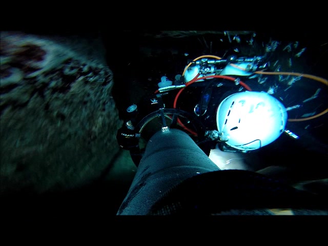
DPV: a scooter is strongly recommended for substantial penetration. However, the entrance is low, rocky and uneven. As shown in the videos below, manoeuvring a DPV through the initial and final sections requires care.
Access: the Durzon is used for drinking-water supply. Local information states that entering the water without permission is prohibited. Always check current permissions and local arrangements in advance.
 ▶
The drawings below show the classic Source du Durzon survey. They are particularly useful for understanding the first 700–800 metres. Exploration has advanced considerably since this survey was made.
Mas de Pommiers, Nant, Aveyron, France
📍 Open in Google Maps →Practical information on parking, walking distance and DPV use is partly based on firsthand experience and original videos. The following sources were used for historical surveys and public background information:
Warning: surveys, access conditions and local rules can change. This page is not a substitute for current local information, dive planning or permission.