


🏛️ DepartmentLot (46)
📍 TownCénevières
📌 Cave GPS44°27′03.1″N 1°45′15.3″E ↗
🅿️ Parking GPS44°27′03.3″N 1°45′11.4″E ↗
↕ Max. depth30 m
↔ Development2.987 m
🗺️ TopoView surveys ↓
Character of Trou Madame
Trou Madame is a resurgence near Cénevières. Beyond the large spring entrance, a low gallery leads to the underground river; the first sump begins farther inside. The system consists of eight sumps, interspersed with air chambers and dry or partly dry passages.
The first kilometre is remarkably shallow: the known sumps there mostly lie between approximately −2 and −10 m. Farther in, the passages become more demanding, with clay and sand deposits, boulder areas and longer submerged sections. Later exploration reached a maximum depth of approximately -30 m.
The municipality of Cénevières currently reports 2,987 m of surveyed development. A dye-tracing test also demonstrated an underground connection with the Charlan sink, approximately 10 km away.
Warning: water levels strongly affect Trou Madame. At low water, dry and very low passages between the sumps can make transporting diving equipment considerably harder.
Explore this site
▶ Videos
Videos coming soon →▶Videos coming soon
Videos of Trou Madame can be added here later.
Videos of Trou Madame can be added here later.
🗺️ Trou Madame surveys
Plan and profile of Trou Madame. The drawings have been cleaned up for the website to improve readability, based on the supplied historical survey.
Historical survey: F.F.E.S.S.M. / C.T.; plan gebaseerd op survey van J. Brassey & Y. Durand (1987).
The images shown here have been optimized for legibility using the supplied original drawings.
The images shown here have been optimized for legibility using the supplied original drawings.
🗺️ Location
Cénevières, Lot, France
📍 Open in Google Maps →ℹ️ Practical information
ParkingMax. ±3 cars – very limited parking along a narrow unpaved track; turning around can be difficult. A small clearing about 100 m farther on is mentioned as an alternative when full.
Walking distance±100 m – steep, strenuous climb to the cave
AccessFrom the parking area, the short route climbs steeply along an uneven, rocky path. A rope serves as a handline on the most difficult section. The climb is strenuous with full cave-diving equipment. After the dive, the same route descends steeply to the parking area. Beyond the large entrance, the underground river and the start of S1 lie farther inside the cave.
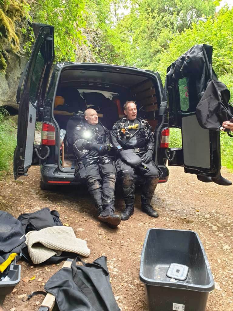
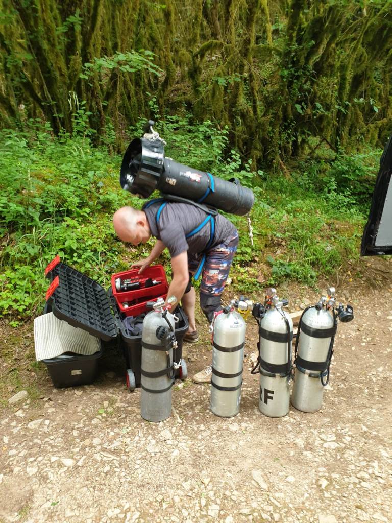
EquipmentFull cave-diving equipment; for deeper penetration, plan for carrying equipment through air-filled and dry sections.
Special considerationsEight sumps, several air-filled sections, locally low passages, clay, sand and boulders. Water levels can change conditions considerably.
PermissionCheck current local access and diving regulations beforehand.
DPVUseful for deeper penetration, but not practical everywhere because of successive sumps, air-filled sections and equipment transfers.
📚 Sources & credits
Technical data and description: Commune de Cénevières; F.F.S. / PlongéeSout; Camp Quercy Plongée and the historical surveys reproduced on this page.
Survey: historical F.F.E.S.S.M. / C.T. drawings; plan based on the survey by J. Brassey & Y. Durand (1987). Images have been optimized for readability.
Practical information: supplemented by firsthand experience and photographs taken on site. Local access and diving rules may change and should be checked before visiting.