


About the quarry
Carrière Saint-Laurent, also known as Groeve Crupet or Groeve Bauche, is a small flooded quarry. Historical dive accounts describe an overhead environment. Visibility may deteriorate quickly when sediment is disturbed. Access is on private land and must be arranged with the owner or an authorised organisation.
Explore this location
📷 Photos
View photos →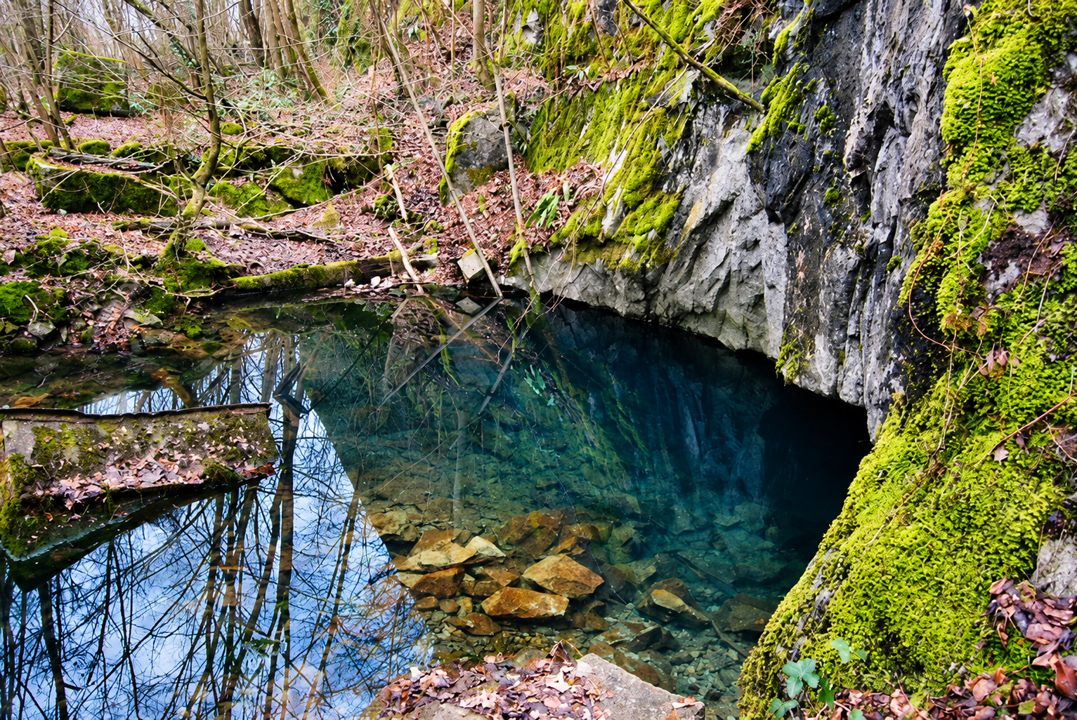
▶ Videos
Videos of Crupet can be added here later.
🗺️ Topography – Crupet
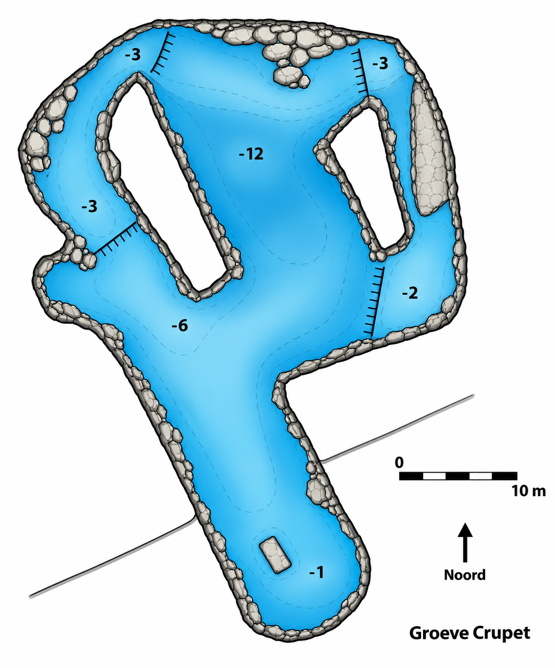
Click to enlarge ↗
Enhanced illustration based on the supplied historical sketch. Depth markings are shown as on the drawing; the deepest marking is −12 m. Not suitable for underwater navigation.
🗺️ Location
Bauche, Yvoir, Namur, Belgium
📍 Open in Google Maps →ℹ️ Practical information
📚 Sources & notes
The topography and entrance photograph were supplied for this website. The enhanced illustration is not a certified survey. The GPS position is provisional; the exact entrance and parking location have not been confirmed.