Warnant 2 – Warnant Prairie

📍 Warnant · Namur · Belgique / België

Flooded underground quarry near Warnant, in Namur province.

ProvinceNamur (Namen)
LocationWarnant
Mine entrance GPS50.321286, 4.824183 ↗
Depth shown on survey−31 m (Depth shown on survey)
TypeFlooded underground quarry

About Warnant Prairie

Warnant 2 (Warnant Prairie) is a separate flooded underground quarry near Warnant, Belgium, distinct from Warnant 1 (Warnant Prairie). Access is regulated; consult the responsible site manager or diving federation before visiting.

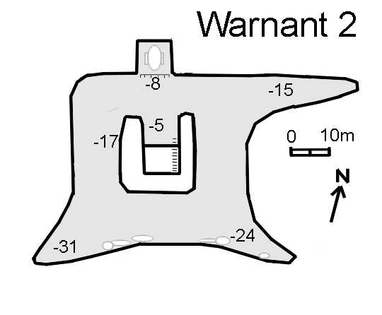
The supplied survey contains a depth marking of approximately −31 m. This is not an independently verified current maximum depth. Passage conditions and visibility can change.

Explore this site

📷 Photos

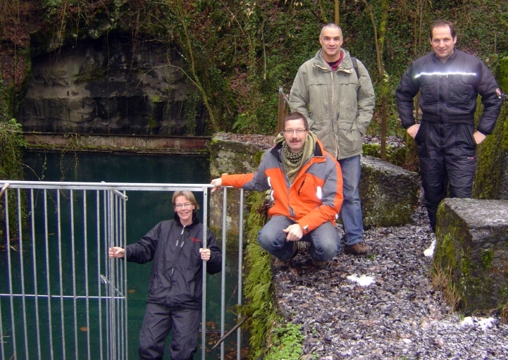
Warnant 2 – entrance photograph

Entrance photograph supplied for this site. Identification of the exact entrance has not been independently verified.

▶ Videos

No video supplied yet.

🗺️ Survey – Warnant 2

User-supplied survey. Its attribution and accuracy have not been independently verified; never use this image for underwater navigation.

ℹ️ Practical information

🚧AccessRestricted access. Check current permission and regulations with UBS / the site manager before visiting.
⚠️SafetyOverhead environment, loose rock, low visibility and variable water levels. Only for appropriately trained and equipped cave/mine divers.
🅿️ParkingCoordinates provided: 50.320662, 4.823730. Park along the public road, not in the meadow or in front of the gate; keep the gate closed.
🛥️DPVN/A
Verify current access and conditions before visiting.
DPV: NO
Regulated access. Verify permission and current rules with UBS or the site manager.
Coordinates provided: 50.320662, 4.823730. Park along the public road, not in the meadow or in front of the gate; keep the gate closed.
Overhead environment with potential low visibility and complex passages. Only for appropriately trained and equipped mine divers.

📚 Sources & attribution