📷 Photos
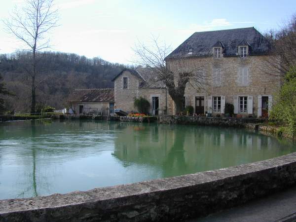
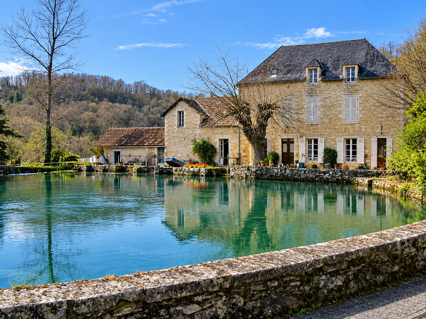
The image was digitally recreated using AI. Details may differ from the original photograph.
📍 La Cassagne · Dordogne (24) · Nouvelle-Aquitaine, France
Doux de Coly is a karst spring near La Cassagne in the Dordogne. Beyond the spring lies an exceptionally long, fully submerged cave passage. This is a historic exploration site, not a freely accessible recreational dive site.
Doux de Coly is a karst spring near La Cassagne in the Dordogne. Beyond the spring lies an exceptionally long, fully submerged cave passage. This is a historic exploration site, not a freely accessible recreational dive site.
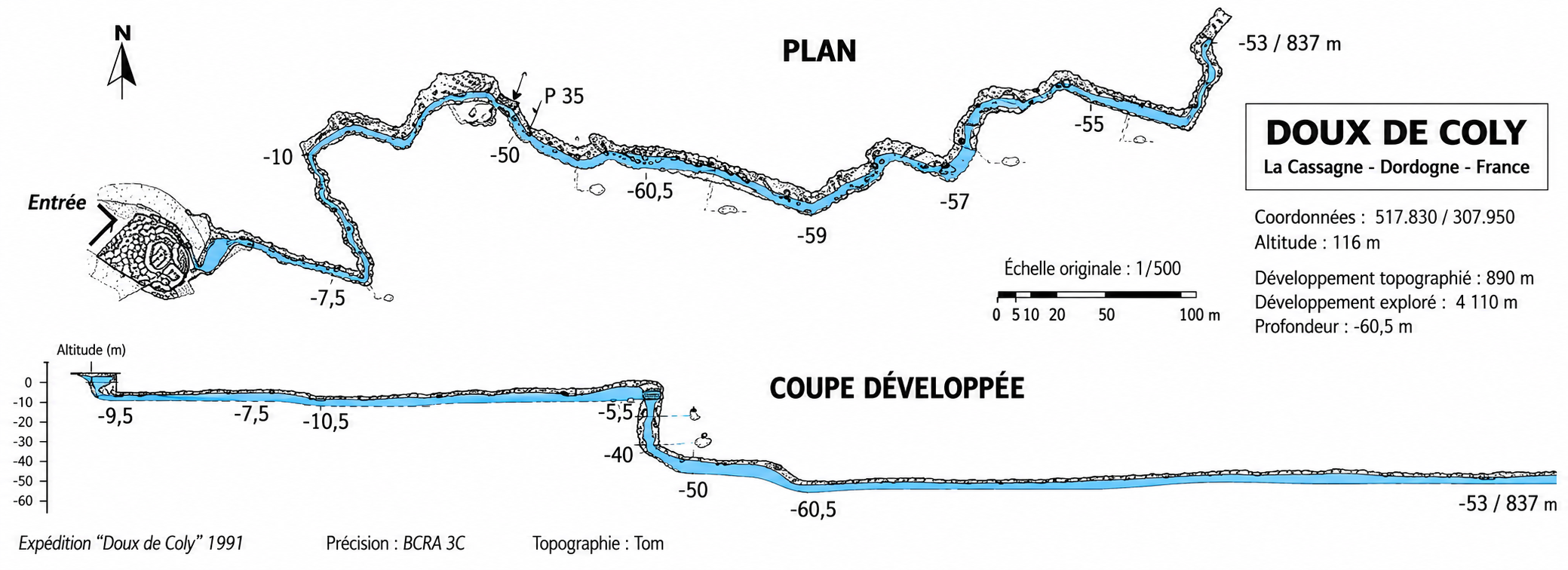
The first few hundred metres are relatively shallow. After about 275 metres, a shaft descends to approximately 65 metres depth. The passage then rises and falls over several kilometres. In 2002, Reinhard Buchaly and Michael Waldbrenner reached 5,675 metres from the entrance, the furthest documented point confirmed by the sources used here.
Exploration dates back to the 1950s. Olivier Isler made major advances during the 1980s and 1990s; EKPP expeditions in 2001 and 2002 extended the known distance. Extreme penetration, depth, lengthy decompression and variable visibility make this a highly specialised exploration cave.
The image was digitally recreated using AI. Details may differ from the original photograph.
No media available yet
Click the image to enlarge the survey.
 🔍 Enlarge survey
Enhanced reconstruction based on the historic Doux de Coly expedition survey (1991), originally credited “Topographie: Tom”. Digitally redrawn and colourised using AI for improved readability. This is not an exact reproduction or a verified dive survey; details, labels and scale may differ. Not for dive navigation.
La Cassagne, Dordogne
Distances and depths are historical exploration data, not current dive conditions. Verify access and permission locally.