📷 Photos
View photos →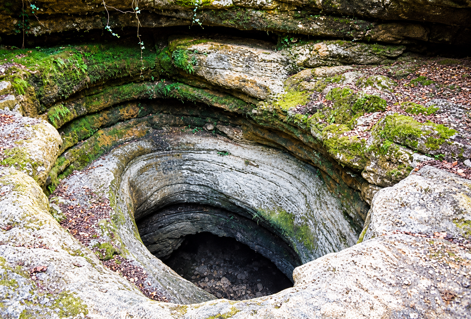
📍 Saint-Jean-de-Laur · Lot (46) · Occitanie, France
A technical cave system with long dry galleries, multiple sumps and a shaft-like entrance.
Gouffre de l’Oule lies near Saint-Jean-de-Laur in the Lot. Historical descriptions identify it as an overflow of the nearby Lantouy system. The entrance is a striking shaft; a ladder is reportedly required to reach the water.
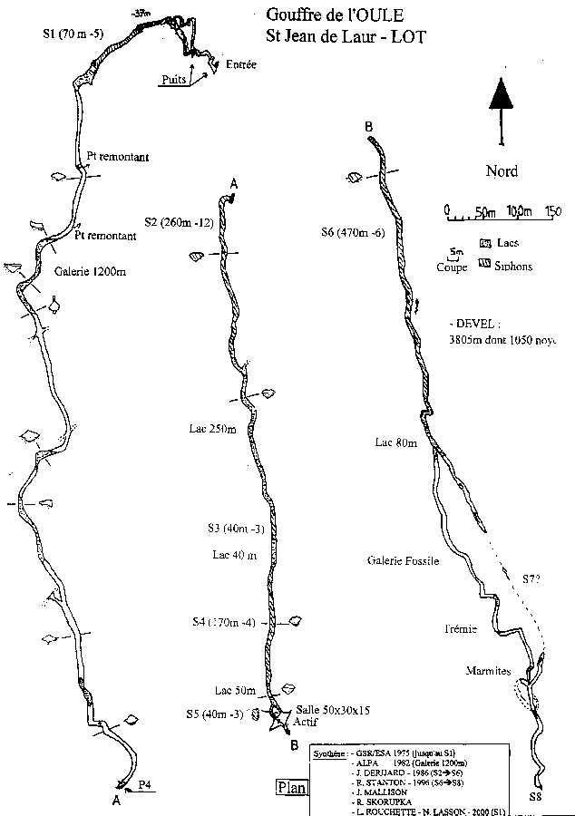
The cave alternates between sumps, long dry and sometimes muddy passages, and underground lakes. The supplied historic survey indicates approximately 3,805 m of development, including about 1,050 m underwater. Other publications give different totals, so these figures are specific to their source and date.
The supplied survey marks S1 (70 m, −5 m), S2 (260 m, −12 m), S3 (40 m, −3 m), S4 (170 m, −4 m), S5 (40 m, −3 m) and S6 (470 m, −6 m). Some lengths differ in the accompanying text. This historical survey is not a current navigation map.
Original historic cave plan and an AI-enhanced illustrative version. Click to enlarge.
Saint-Jean-de-Laur, Lot (46)
* Warning: the AI reconstruction may contain inaccuracies and must not be used for cave-diving navigation. The original survey is historic reference material only.