🏛️ DepartmentLot (46)
📍 LocationCadrieu / Cajarc
📌 GPS cave44°29′15.1″N 1°51′56.3″E ↗
🅿️ GPS parking44°29′15.5″N 1°51′54.1″E ↗
↕ Max. depth123 m
↔ Development2.134 m
🗺️ TopoView PDF ↗
Character of Landenouse
The Source de Landenouse, near Cadrieu and Cajarc in the Lot department, is one of the classic cave-diving sites in this region. Compared with the Ressel, for example, Landenouse is far less conspicuous at the surface. There is no large river with an obvious resurgence, but rather a relatively small masonry spring basin directly below the D662. What lies beneath it, however, is anything but small.
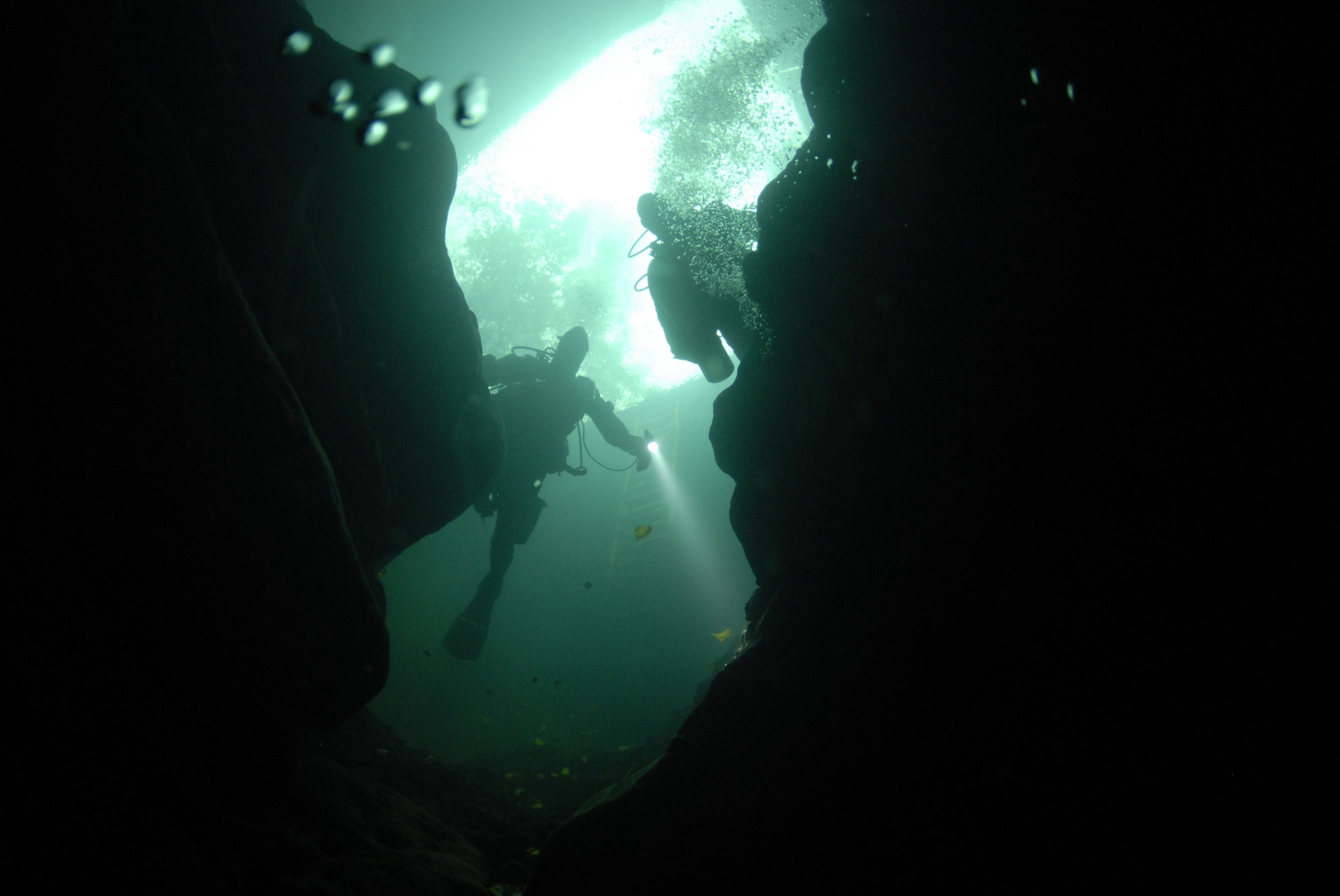
You descend to the water through the spring basin. Depending on the water level, the vertical difference can be considerable, so lowering heavy dive sets, stages and scooters on a line can be useful. Once underwater, the cave soon opens up and a long route through an impressive underground system begins.
Landenouse starts relatively shallow, but becomes increasingly serious as you penetrate farther into the cave. The large passages, long penetration and eventually considerable depth allow for very different kinds of dives. A relatively short cave dive is possible, but the remote sections require gas planning, decompression and logistics of a completely different order. For longer penetrations, a DPV is therefore particularly practical.
An important consideration at Landenouse is the situation above water. Parking is very limited and the adjacent land is used for agriculture. Park only in suitable places and never block an entrance, gate, driveway or access to the land. At sites like this, considerate behaviour by cave divers is essential to help preserve future access.
To me, Landenouse has a very different character from the Ressel. Whereas the Ressel is large, well known and nowadays very well set up for divers, Landenouse feels much smaller-scale and more authentic. You stand almost directly beside the road at a small spring, lower your equipment, and then disappear into a cave that extends for more than a kilometre and a half beneath the landscape and descends to considerable depth.
That contrast is precisely what makes Landenouse so special: a modest entrance hiding a serious and impressive cave-diving system.
Explore this location
▶ Videos
Watch the video →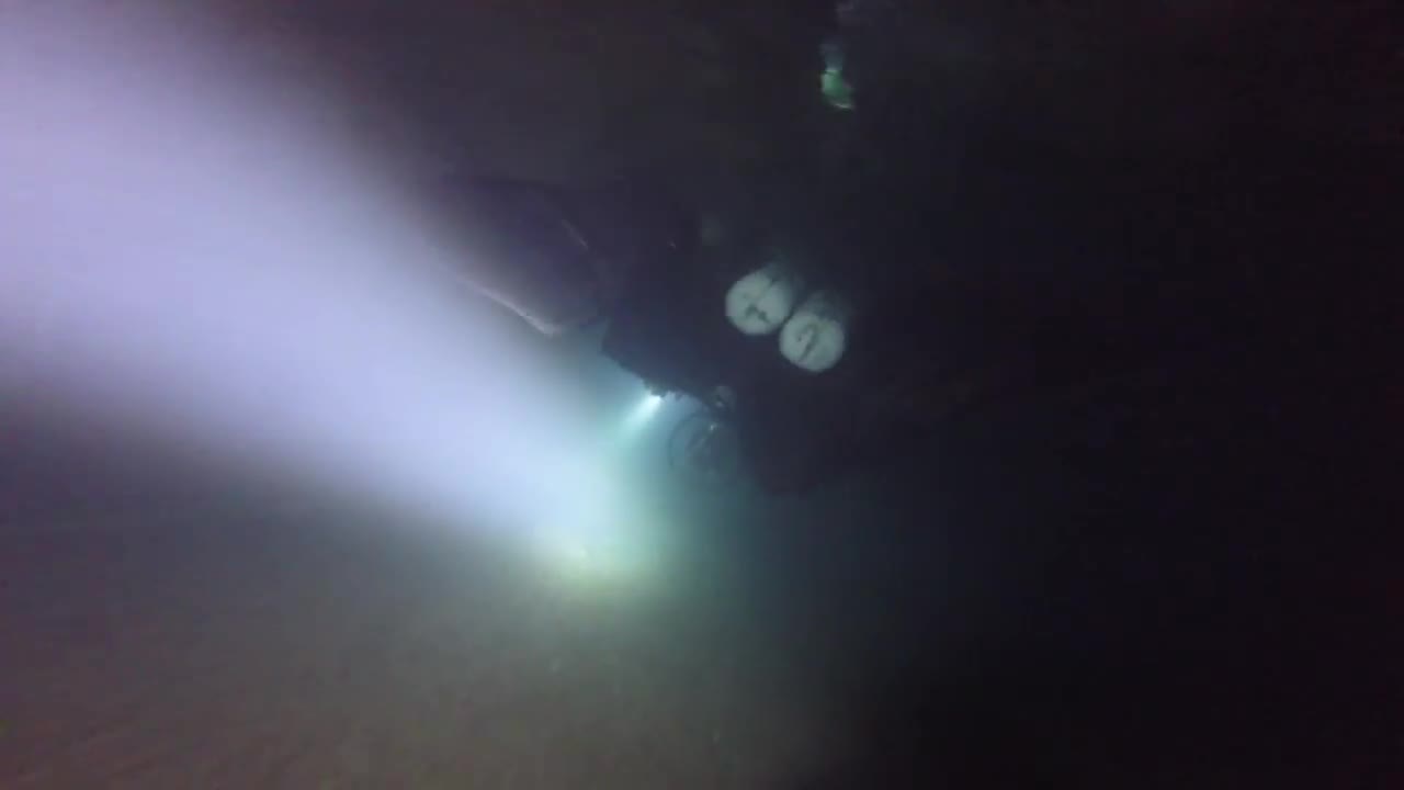
A five-minute compilation of cave diving at Source de Landenouse.
🗺️ Topography Source de Landenouse
Detailed map of Source de Landenouse, published by The Hidden River Project.
PLAN · cave system
Topography: The Hidden River Project · drawing © Torsten Schnitter 2023–2025.
Copyright: the topography is external source material. freijer.eu claims no copyright over the original topographic content or drawing. Source and copyright attribution have been retained.
🗺️ Location
Cadrieu / Cajarc · France
📍 Open in Google Maps →ℹ️ Practical information
ParkingMax. ±2–3 cars – keep access to the field completely clear
Walking distance±50 m
AccessVia masonry spring basin and metal stairs/ladder
ConfigurationFull cave-diving equipment; a means of lowering equipment can be useful
ParticularsVery limited/sensitive parking situation; respect private property
PermissionNo formal diving permit known; check local arrangements
DPVAllowed
Sources & documentation
Location and practical information was compiled for freijer.eu and supplemented with personal experience on site. For the topography and information about the cave system, information was taken from The Hidden River Project ↗. Drawing © Torsten Schnitter 2023–2025.