📷 Photos
View photos →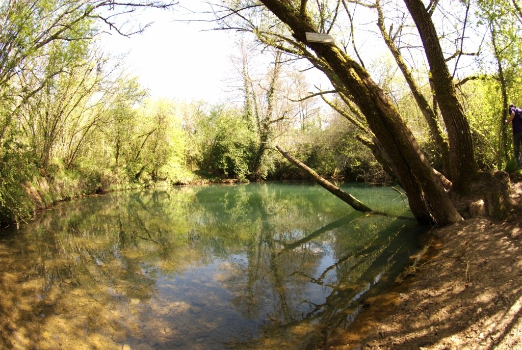
A short but steeply descending cave dive in the Lot, with sand deposits and restrictions in the deeper section.
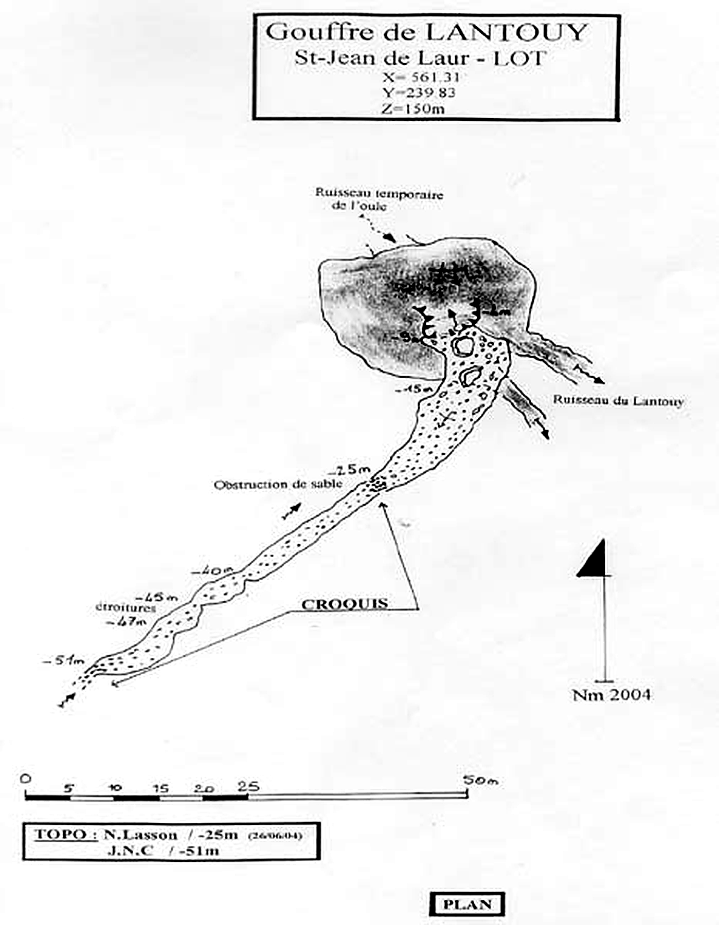
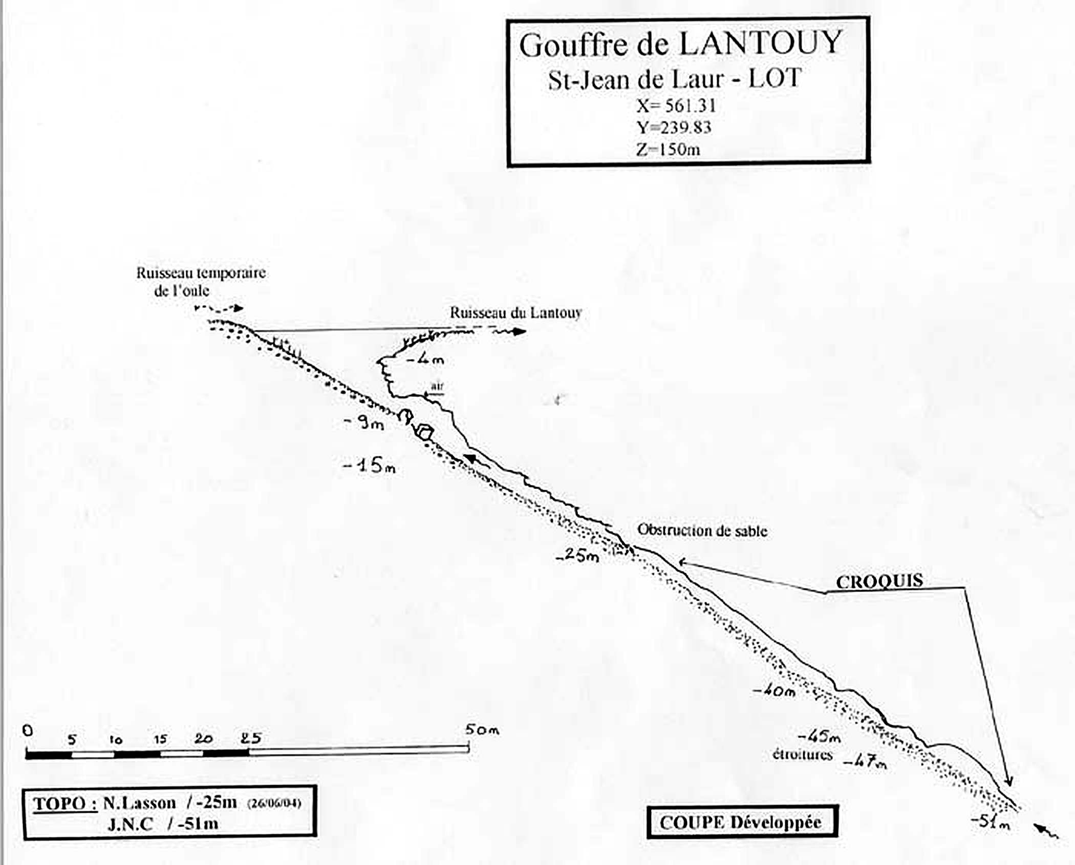
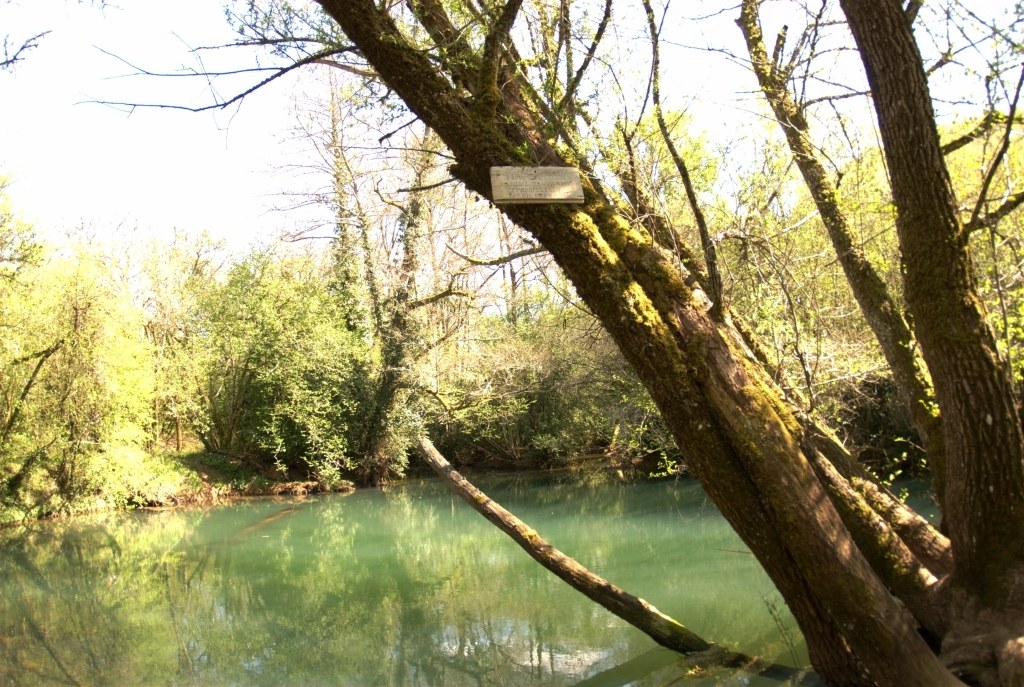
Gouffre de Lantouy lies hidden in a wooded setting near Saint-Jean-de-Laur. Beneath the calm spring pool, the cave gains depth relatively quickly. The available survey shows a route via approximately -9, -15 and -25 metres to the deeper section around -40 to -51 metres.
At around -25 m, a sand obstruction is indicated. Farther on, around -45 to -47 m, étroitures — restrictions — are marked. The known survey ends at approximately -51 m.
Note: the ±100 m development is currently an estimate based on the available survey and will be updated when a reliable measured length becomes available.
Plan and developed profile of the known underwater route. The original drawings have only been technically cleaned up and enlarged for better readability; the topographic content has not been altered.
Saint-Jean-de-Laur, Lot, France
📍 Open in Google Maps →Location and practical information has been compiled for freijer.eu and supplemented by first-hand experience on site. Topographic data and the description of the underwater route are based on the supplied original survey. Topography: N. Lasson tot -25 m (26/06/04) · J.N.C tot -51 m. The survey images on this page have only been technically optimised for better readability.