Character of Pou Meyssen
Gouffre de Pou Meyssen is a natural window onto the underground Ouysse river and is directly connected to Résurgence de Cabouy. The collapse zone forms a small natural cirque about 15 metres in diameter. Beneath an overhang is a funnel-shaped opening of approximately 8 × 6 metres; a steep slope descends about 3 metres to the small pool.
The pool is about 6 metres long and 2.5 metres wide, and the water level varies with the season. Underwater, the slope continues to approximately −10 metres, where a large chaotic chamber is reached. From this chamber there are two main directions: downstream towards Cabouy and upstream farther into the Réseau de l’Ouysse.
The connection with Cabouy is about 800 metres away. The complete first-sump section of the Ouysse system is approximately 2.4 km long. Pou Meyssen therefore provides a second access point to this long underground river passage.
View this location
📷 Photos
View photos →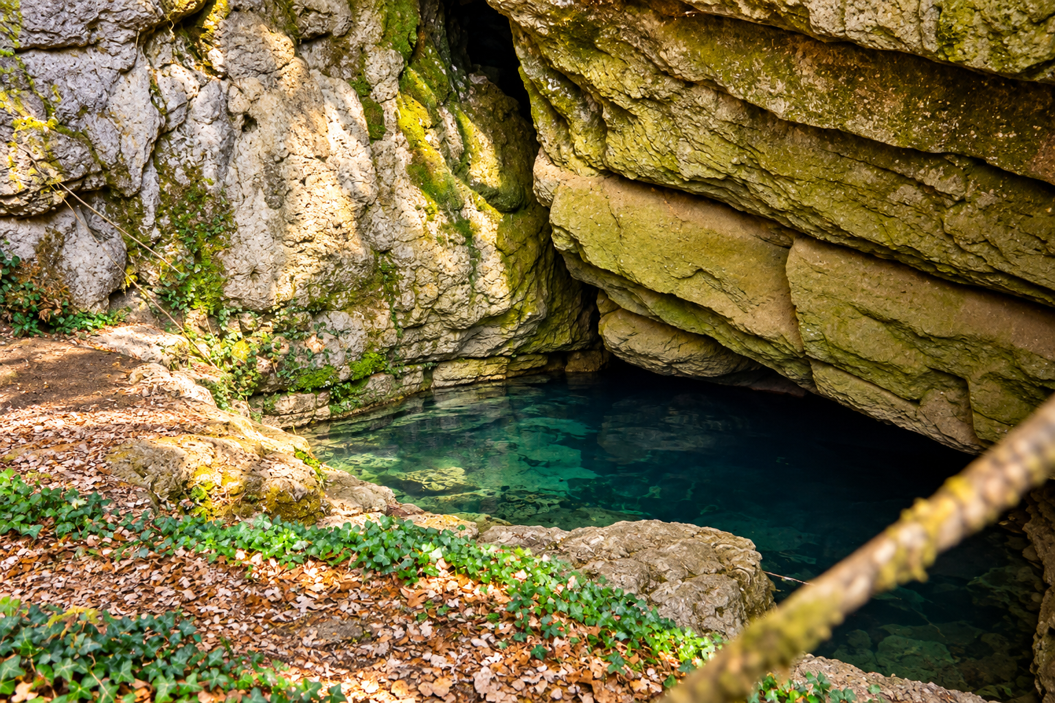
▶ Videos
View videos →🗺️ Topography Gouffre de Pou Meyssen
Pou Meyssen and Cabouy are two entrances to the same Réseau de l’Oyusse. The same system surveys are therefore relevant here.
Survey of the shared underwater passage between the two entrances.
Complete survey of the Réseau de l’Oyusse.
🗺️ Location
ℹ️ Practical information
📚 Sources & credits
- FFS / PlongéeSout — beschrijving en topografische gegevens van Pou Meyssen, Cabouy en het Réseau de l’Oyusse.
- FFESSM — aanvullende documentatie over het ondergrondse systeem.
GPS positions, parking location, access road, walking distance and DPV information are based on the location data for this page. Cave conditions, terrain and access can change; always check them before a dive.