📷 Photos
View photos →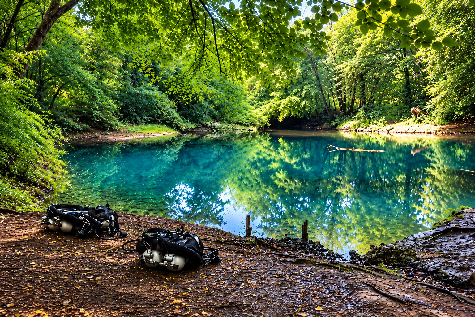
Anjeux · Haute-Saône (70) · Bourgogne-Franche-Comté, France 
A striking Vauclusian karst spring in the forest, with a surveyed underwater passage extending to 185 metres and −32 metres.
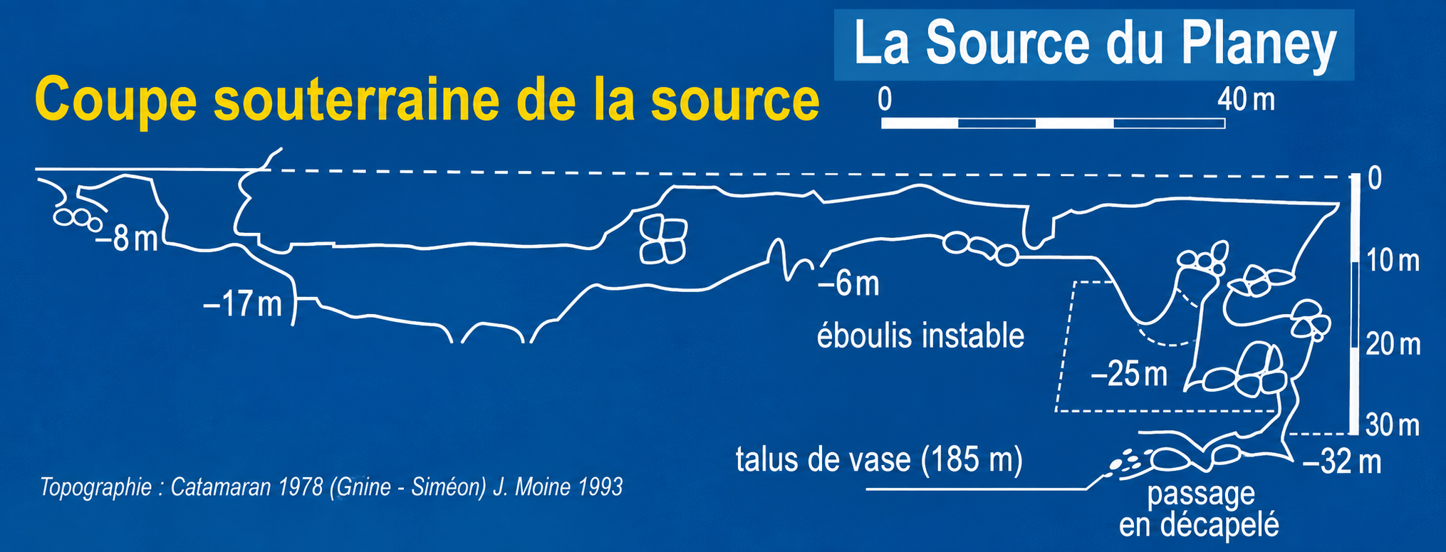
Source du Planey lies hidden in the forest near Anjeux. Beneath its striking spring basin is a relatively short but technically demanding underwater cave. From the entrance, the passage first descends to about −17 metres, then rises towards −6 metres. Farther on, the system becomes more complex and descends through deeper passages to the known endpoint, approximately 185 metres from the entrance at a depth of −32 metres.
Exploration dates back to 1969. The cave was investigated progressively in subsequent years. In 1973, explorers reached the terminal area at about 153 metres and −25 metres; in 1978, additional side passages were explored and a survey was produced. In 1993, J. Moine extended the known passage to 185 metres and −32 metres. The known endpoint lies at an unstable boulder choke.
The survey shows the developed profile of Source du Planey, including key depths and the known endpoint.
Anjeux · Haute-Saône, France
📍 Open in Google Maps →Practical details about parking, walking distance and GPS coordinates are based on the location information supplied for this page. Cave conditions, access and local rules may change; always check them before diving.