📷 Photos
View photos →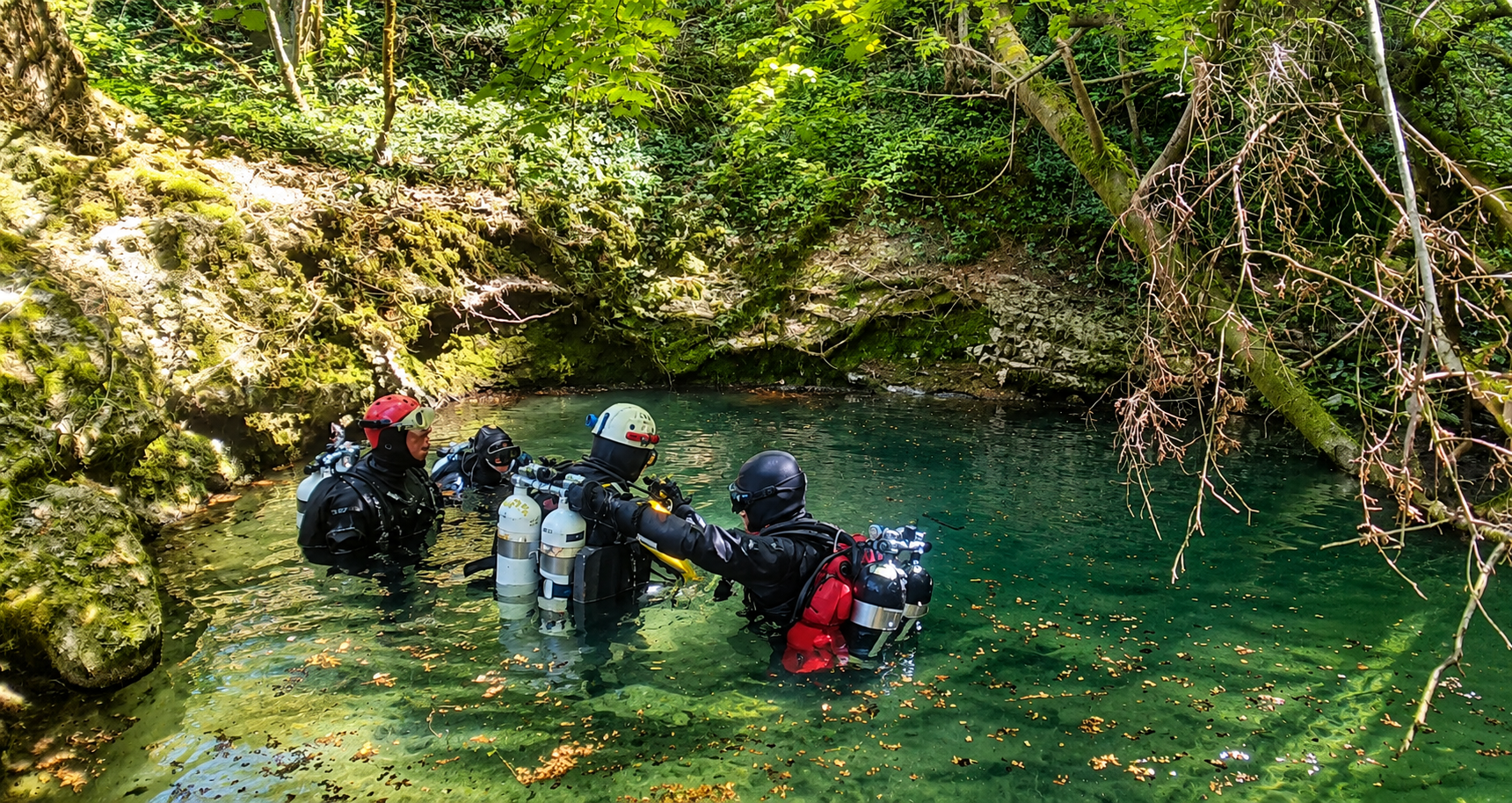


An exceptional resurgence of the Padirac system, featuring a long first sump, dry galleries and a historic connection towards Padirac.
Source de La Finou lies near Montvalent and belongs to the extensive underground Padirac water system. The cave is not one continuous submerged passage: the first sump is followed by dry galleries and then several more sumps. The supplied historical information describes a system with 22 sifons.
The first sump descends over unstable gravel and levels off at around -30 tot -33 m. A restriction lies farther on, after which the passage rises towards a dry section. Depending on the survey, S1 measures approximately 285 tot 310 m in length. Next, approximately 700 m through dry cave passages must be traversed before reaching S2.
Farther into the system are longer sumps, including S3 and S5, interspersed with dry passages. The La Finou–Padirac connection demonstrates that this is an extensive and complex cave system, not a simple continuous cave dive.
Important: access and parking are sensitive issues. Surrounding land is privately owned, and prohibition signs have been posted in the past. Limit the number of cars, respect local agreements and always verify current access arrangements before visiting.
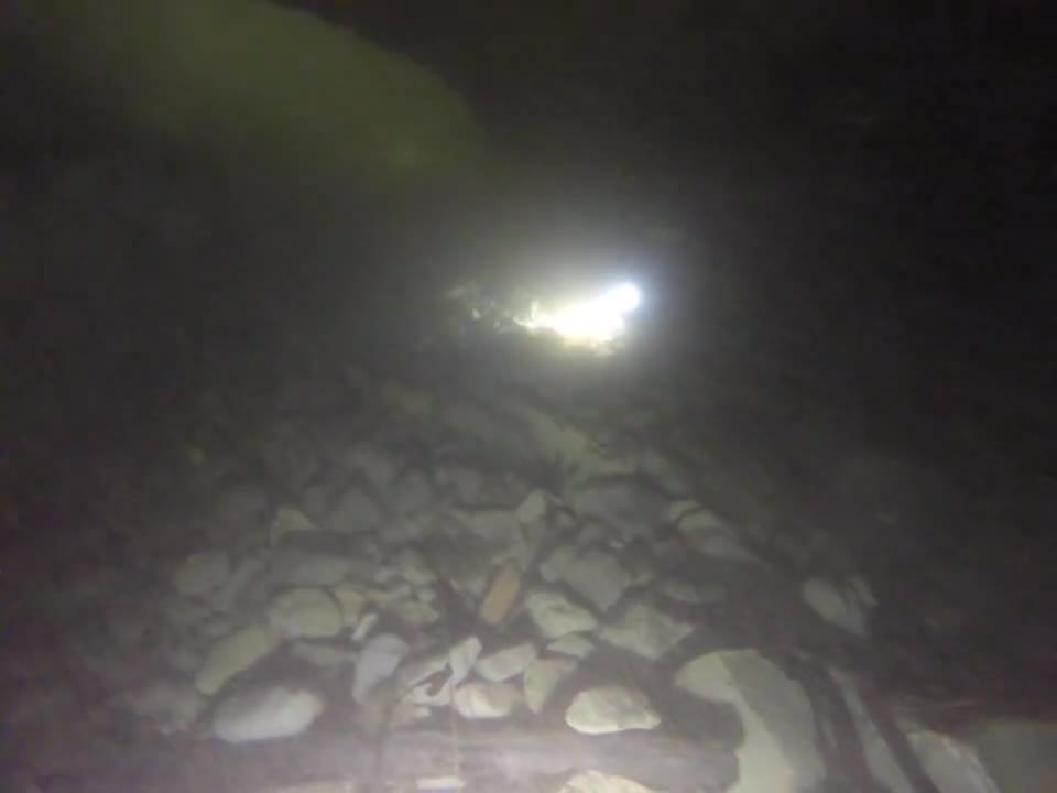
The supplied description and surveys give the following figures for the first part of La Finou: S1 ±285–310 m / -33 m, followed by approximately 700 m of dry cave; then a short S2, S3 ±240 m / -6 m, S4 ±35 m / -3 m, S5 ±575–585 m / -14 m, followed by several further sumps and dry passages.
The historical surveys were produced at different times, so some lengths and numbering differ slightly. This page intentionally preserves those original differences.
The four supplied surveys show both the profile of La Finou and its relationship with Saint-Georges and the Padirac system. Click a survey to enlarge it.
Montvalent, Lot, France
📍 Open in Google Maps →Practical information on parking, walking distance and GPS coordinates is based on field observations and supplied data. Cave conditions, access and local arrangements may change; always check before diving.