📷 Photos
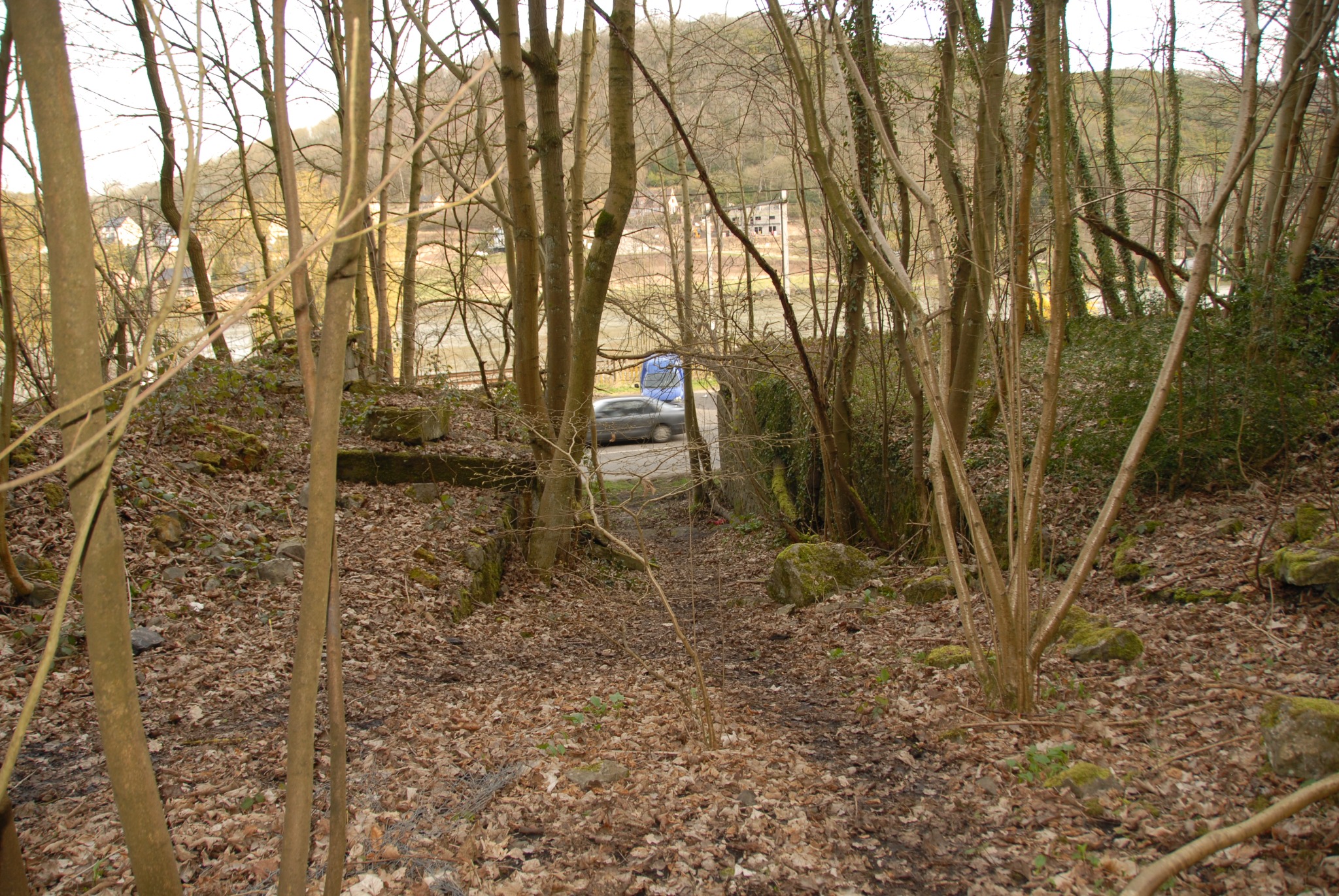
📍 Anhée · Namur · Belgique / België
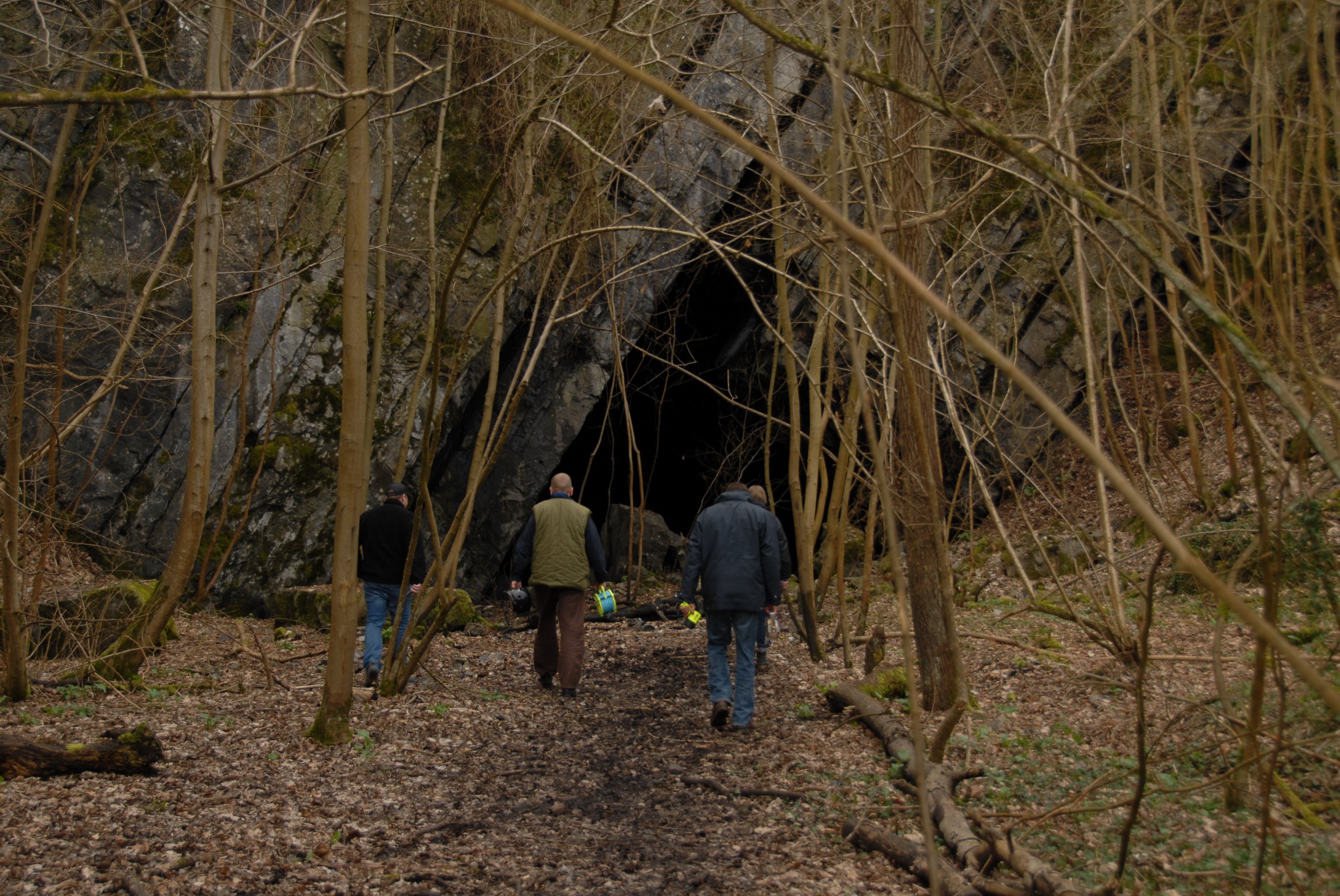
Former underground black-marble quarry near Anhée, province of Namur.
The Anhée mine, also known as Trou du Diable, is a former underground black-marble quarry near the Meuse. Its passages and chambers reflect historic stone extraction. The supplied survey marks levels −7, −12 and −15.
The historic mine includes overhead passages, loose rock and mining remains. Survey levels should not automatically be interpreted as the present maximum diving depth.
A 3D view and a cleaned-up illustration are available. The illustration is a reconstruction and must not be used for navigation. The survey author and date have not been verified.
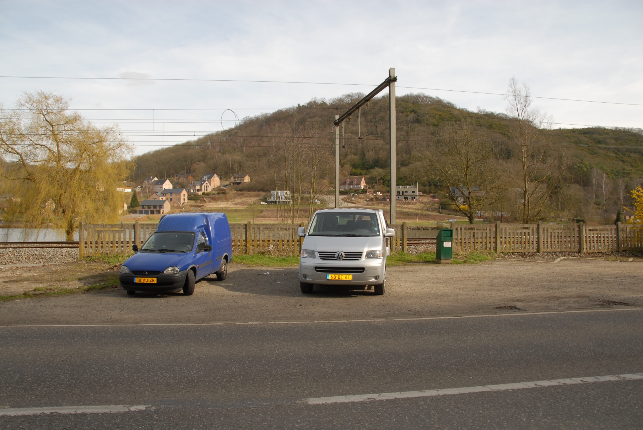
Anhée, Namur, Belgium · Parking GPS: 50.293958, 4.893733
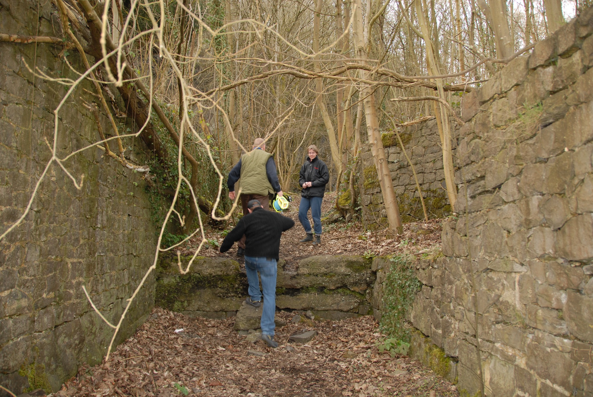
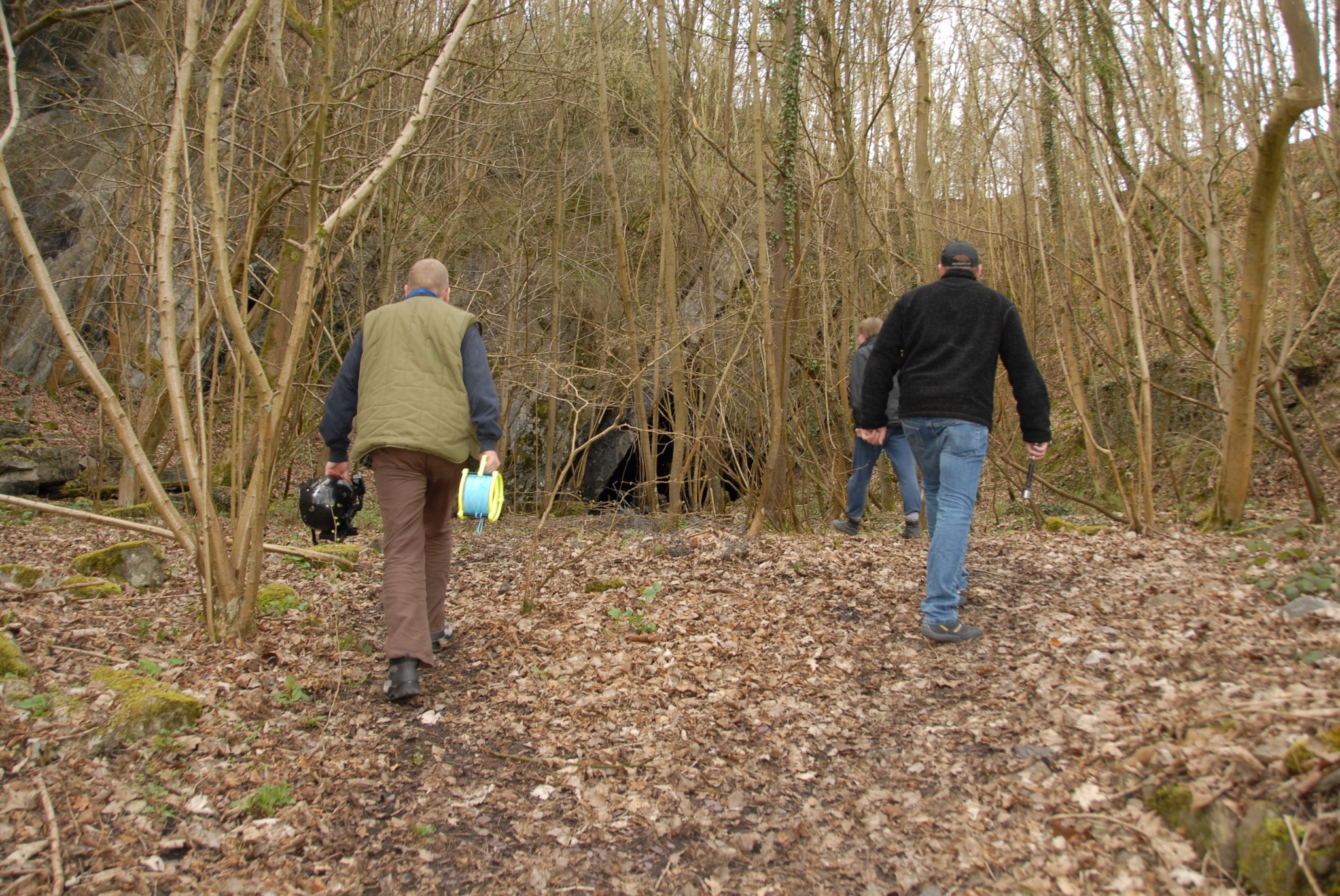
The supplied GPS coordinates refer to the parking area, not the mine entrance. Approximately 100 metres on foot from the parking area.
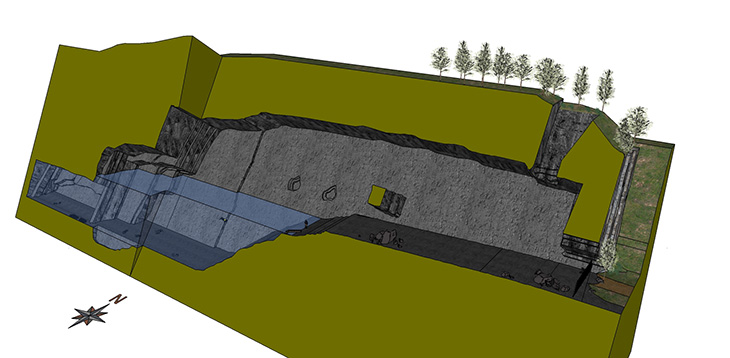 3D view ↗
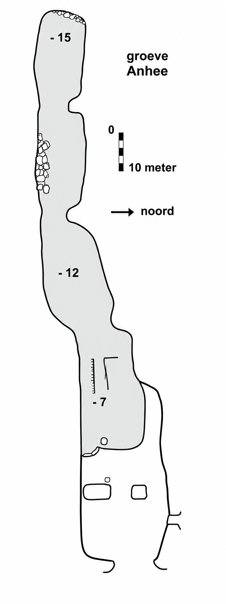 Cleaned-up illustration (not for navigation) ↗