📷 Photos
View photos →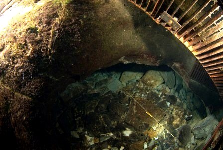
© Ron Freijer
© Ron Freijer


A cave of contrasts: a narrow entrance and tight first passage, followed by beautiful larger galleries and several sumps.
Source de Marchepied, near Marcilhac-sur-Célé in the Lot, reveals very little at its entrance of what lies beyond.
Immediately after the start, a restriction must be passed, followed by an approximately 30-metre-long, low and quite tight underwater passage. There is little room to manoeuvre and turning around can be quite challenging.
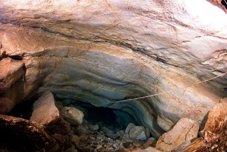
After that, Marchepied changes character surprisingly and opens into attractive, larger galleries.
The entrance to Marchepied is small and tight. According to the French description, the passage can be negotiated with a small twinset, but a sidemount configuration is more practical. After the entrance, the passage descends over a slope of stones and then continues horizontally, opening after a few metres into an attractive larger gallery. The general direction of the first sump is south.
S1 is approximately 510 metres long and reaches about -17 metres. Its profile winds and repeatedly rises and falls. The dry passage between S1 and S2 is not particularly technical, but becomes significantly harder with a lot of equipment. Air quality in these galleries is an important concern.
S2, at approximately 28 metres / -5 metres, is very short. Between S2 and S3 the route passes through a kind of partly flooded meander that eventually leads to the start of the third sump.
S3 starts with about one hundred metres of passage at an average depth of around 12 metres. The cave then descends relatively quickly to around 30 metres and subsequently towards 47 metres. The low gallery in S3 is described in the source as fairly spacious, approximately 3 × 4 metres.
At approximately -65 metres there is a gravel restriction. During exploration, gravel had to be moved here to continue. Beyond this restriction the cave descends to its maximum depth of about -69 metres. The gallery then gradually rises again and eventually becomes almost vertical. At 1,338 metres from the entrance, known exploration ends at about -57 metres at an impassable collapse.
Warning: the dry galleries between the sumps may contain high CO₂ concentrations and significantly reduced O₂ levels. An air space therefore does not automatically mean that the air is safe to breathe.
Below are two graphically optimized versions of the topography: the plan (top view) and the coupe développée (longitudinal profile). Click a drawing to view it full-screen.
Marcilhac-sur-Célé, France
📍 Open in Google Maps →Practical information has been supplemented with first-hand experience where applicable. Cave conditions, access and local arrangements can change; always check them before a dive.